NSCP 2015 · DGCS 2015 · D.O. 75 s.2024
Geotechnical reports built on Philippine standards
Enter your boreholes, attach your HazardHunterPH and FaultFinder results, and get a complete geotechnical investigation report: bearing capacity, settlement, piles, seismic parameters and liquefaction, every number traceable to its reference. You review it, then sign it.
Developed by Filipino geotechnical engineers. Works on phone, tablet and desktop.
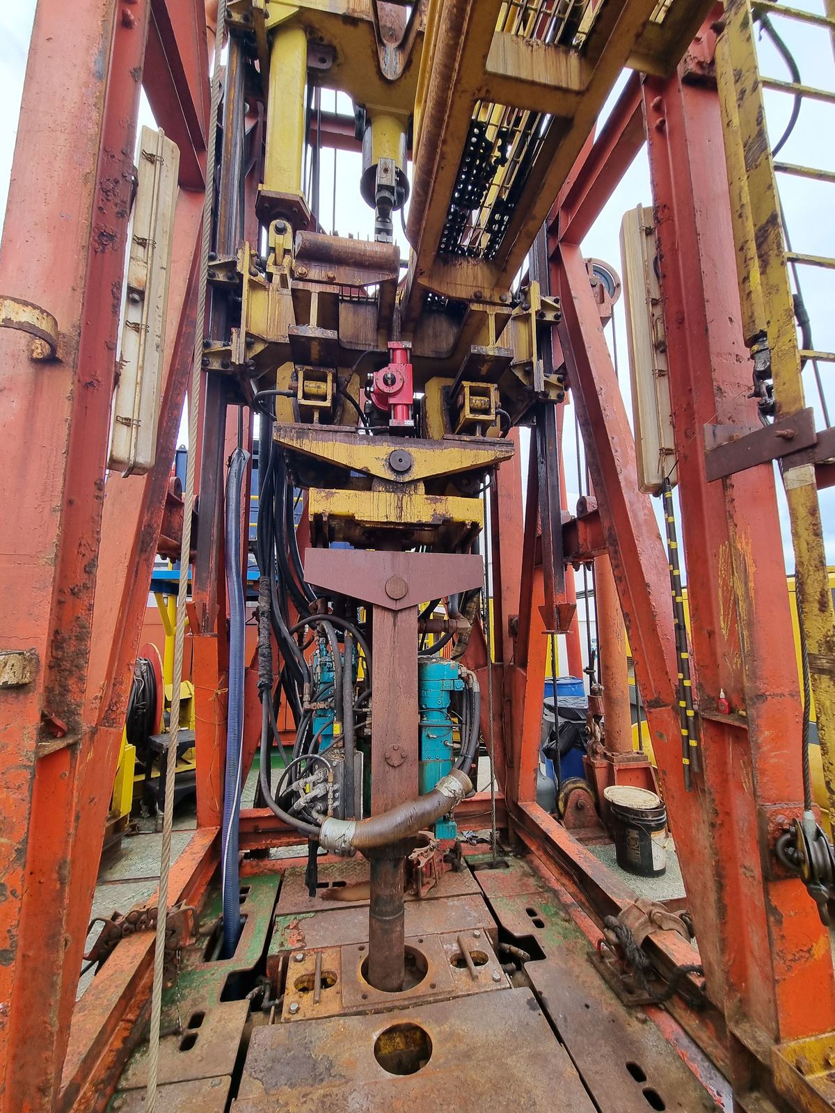
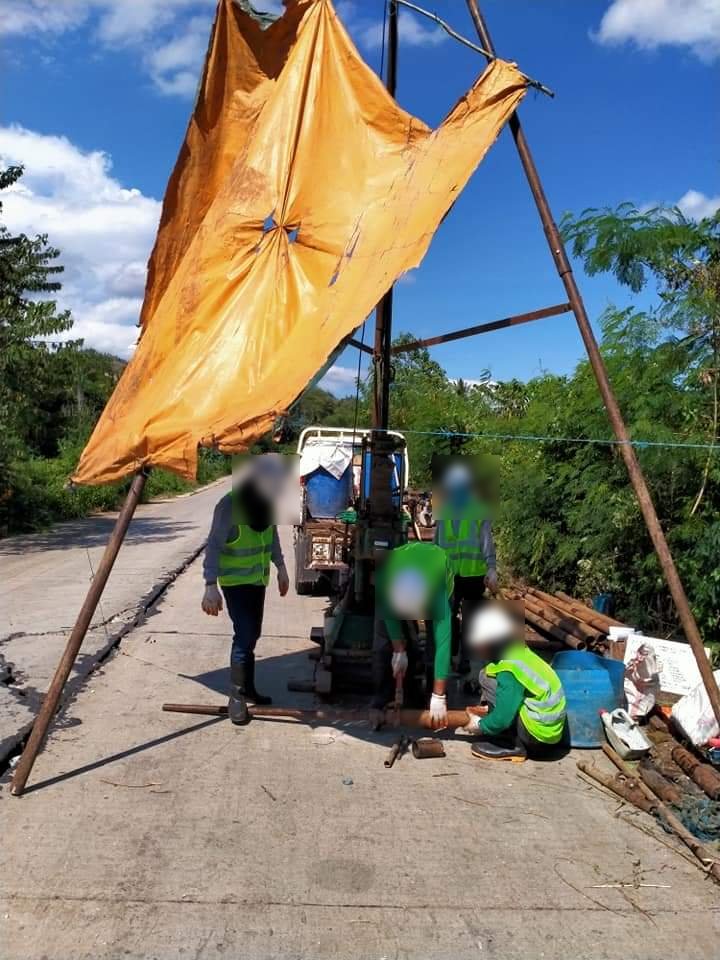
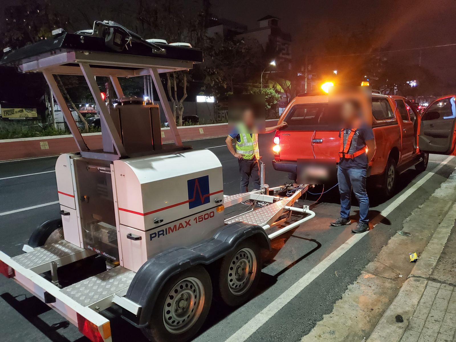
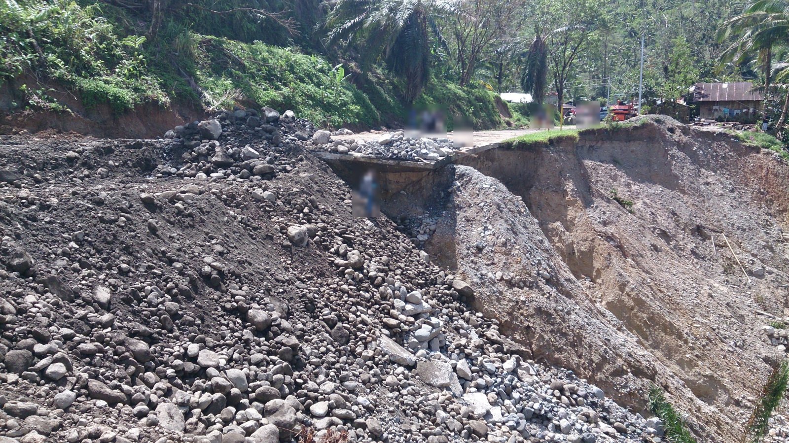
From the field
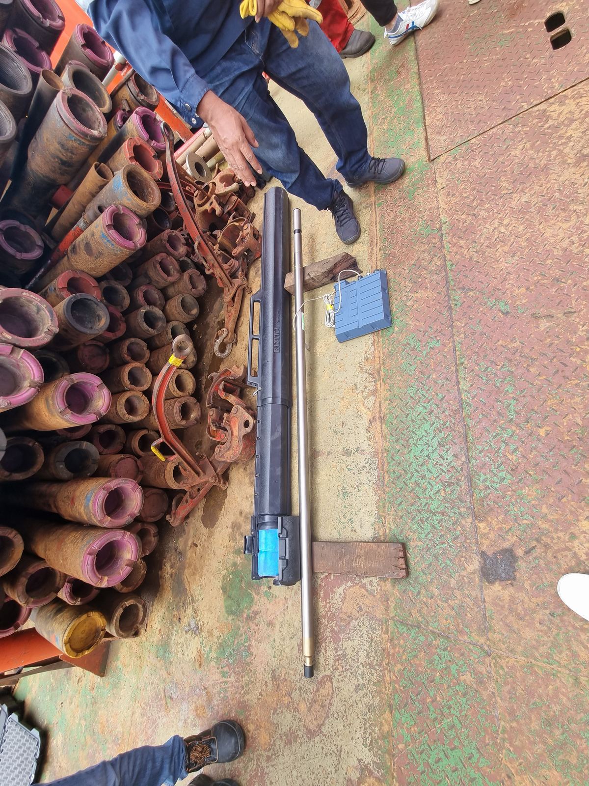
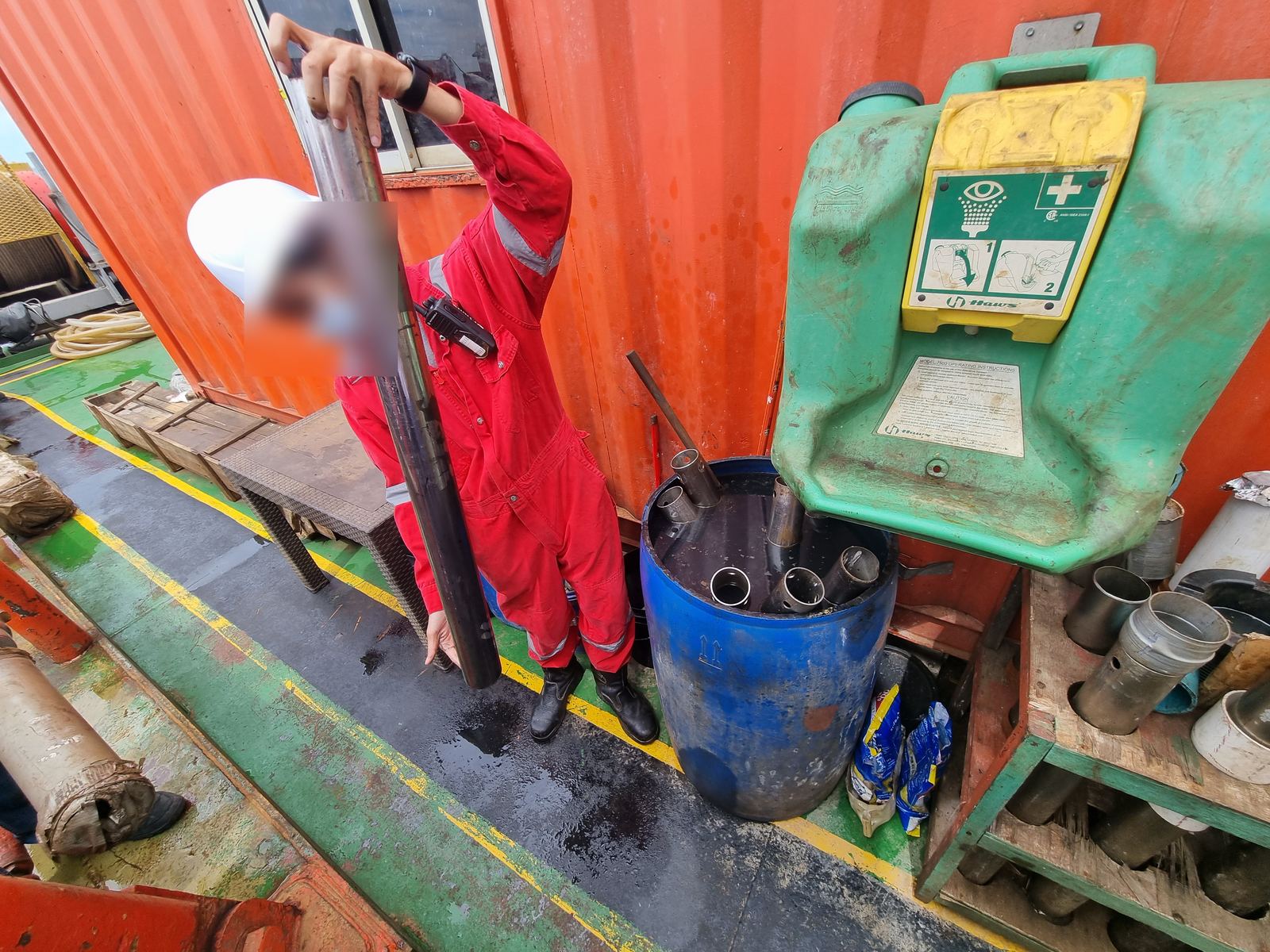
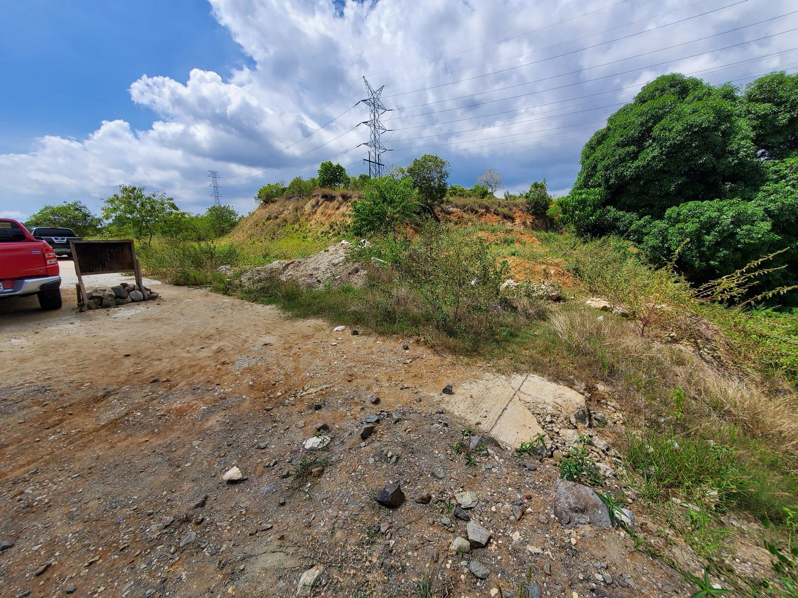
Built from years at the rig and on the road
The suite
One borehole, every module
Enter the boring log once. Each module reads the same soil profile and writes its own report in the same format.
How it works
From the rig to a signed report
Enter the boring log
Depth, USCS, unit weight, SPT N and groundwater. Geotagged photos of each borehole fix the site location.
Attach the official results
Upload the HazardHunterPH report and the FaultFinder result. LavGeo reads them, checks the location and fills the hazard section.
Low, best and high cases
Bearing with weak-layer checks, settlement, bored piles, NSCP site class and near-source factors, liquefaction.
Review, sign, verify
Word and PDF with references and hand calculations. Each report carries a QR code anyone can scan to verify it.
Sample report
A report you would sign yourself
Written in the structure Philippine reviewers expect: memorandum, regional geology, a hazard-by-hazard explanation, subsurface conditions, analysis, conclusions and numbered recommendations, then the annexes.
Table 6. Allowable bearing pressure qa (kPa)
| Df (m) | B = 1.5 m | B = 2.0 m | B = 3.0 m |
|---|---|---|---|
| 1.5 | 110 / 138 / 165 | 93 / 115 / 136 | 80 / 97 / 114 |
| 2.0 | 110 / 129 / 149 | 98 / 114 / 130 | 86 / 100 / 114 |
| 3.0 | 64 / 76 / 89 | 61 / 72 / 83 | 57 / 68 / 78 |
| 4.0 | 173 / 212 / 251 | 159 / 195 / 231 | 146 / 178 / 210 |
Low / best / high. At Df = 3.0 m the footing rests on the weak layer L3; this depth should be avoided.
PRC License No. · Signature and seal
Why LavGeo
Transparent by design
Every number traceable
Each result names its method, equation and reference. The report includes hand calculations so a reviewer can check them.
Philippine practice first
NSCP 2015 and DGCS 2015 are built in, with HazardHunterPH and FaultFinder results attached as issued.
The engineer signs
The software computes; the Geotechnical Engineer on-record reviews and signs, following D.O. 75 s.2024.
QR-verified reports
Scan the code on any report to confirm who issued it, when, and that it has not been altered.
Low, best and high
SPT correlations are uncertain, so every parameter comes as a range and the recommendation is checked against the low case.
Made for the site
Phone-first screens for logging SPT data at the rig, and full reports on the desktop.
From engineers
What our users say
Feedback from the Founding Engineers beta will appear here, with each engineer's name and title.
Testimonial from a Founding Engineer.
Geotechnical Engineer, Office
Testimonial from a Founding Engineer.
Materials Engineer, Office
Testimonial from a Founding Engineer.
Design Engineer, Office
Try the free calculators
NSCP 2015 near-source factors and seismic coefficients, and SPT corrections with friction angle and undrained strength. No sign-up needed.
Solutions
Start from the problem
Pick what you need to check. Each solution opens the module that handles it.
Modules
The LavGeo Software Suite
Each module solves one kind of structure and shares the boring log, the report format and the checks.
LavGeo Foundation
What the Foundation report contains
| Section | Content | Basis |
|---|---|---|
| Geohazards | Ground rupture, shaking, liquefaction, tsunami, volcanic, landslide, severe wind, storm surge | HazardHunterPH and FaultFinder, attached as issued |
| Regional geology | Formation at the site and tectonic setting | MGB 1:50,000 geological maps, credited |
| Parameters | N60, (N1)60, φ′, su, E for each layer, low / best / high | Liao & Whitman; Wolff; Stroud; Schmertmann |
| Shallow foundations | Allowable bearing vs width and depth, weak-layer 2:1 check, settlement, subgrade modulus | Meyerhof; Schmertmann; Bowles; NSCP Table 304-1 cross-check |
| Deep foundations | Bored pile capacity by diameter and length | FHWA GEC 10 |
| Seismic | Soil profile type, Na, Nv, Ca, Cv | NSCP 2015 Section 208 |
| Liquefaction | Factor of safety by depth, post-earthquake settlement | Idriss & Boulanger (2014); Ishihara & Yoshimine (1992); NSCP 303.4 |
| Annexes | Methods table, hand calculations, hazard reports, qualifications of the engineer on-record | D.O. 75 s.2024 |
Sample report · LG-GIR-2026-001
Proposed four-storey school building, Imus City
A re-analysis of 2019 boring data: two boreholes to 12 m in the Guadalupe Formation. Client details are withheld; the geological map figure is shown only in issued reports.
Governing finding
A thin sandy silt layer (N = 5) at 2.5–3.5 m controls footings between 1.5 m and 3.5 m depth and may liquefy where groundwater is at 2.8 m.
Recommendation
- Footings at Df 1.5–2.0 m: qa = 100 kPa (B ≤ 2 m)
- Footings at Df ≥ 4.0 m: qa = 160 kPa
- Bored piles 0.6 m × 10 m: 590 kN
Seismic (NSCP 2015)
Profile SD · Na 1.0 · Nv 1.10 · Ca 0.44 · Cv 0.704
West Valley Fault 12.5 km (FaultFinder).
Hazards (HazardHunterPH)
Safe from ground rupture, liquefaction (regional), tsunami and storm surge; prone to Intensity VIII shaking and to Taal ashfall.
The full sample (Word and PDF) will be downloadable here once the site is live.
Start here
What do you want to make?
Upload your boring logs and lab results once. Tell us what you need. LavGeo builds one report with every chapter connected.
How it works
- New project. Name, location and structure type.
- Upload once. Fill in the LavGeo borelog template (Excel) with your logs and lab results, then upload it.
- Check the numbers. We read the file and show every row. Fix anything on screen; nothing is computed until you confirm.
- Tick what you need. Bearing capacity, settlement, site class, bored piles, liquefaction.
- Get one report. Preview free. Pay per report by BDO QR, or use a plan. Final copies get a Report ID and a QR anyone can verify.
Learn from sample reports
Invented data. Open one, turn on Teach me, and read what a reviewer looks for in each chapter.
Slope and Bridge scour previews open with sample values already filled in: Slope · Bridge scour.
My projects
My projects
One project per job. Revisions to a paid report are free.
My projects / project
New project
Free calculators
Quick checks, with the references
The same engine that writes the reports. Results update as you type.
NSCP 2015 seismic coefficients
Zone 4 (Z = 0.4). Tables 208-4 to 208-8; near-source factors interpolated linearly. Ts = Cv / 2.5Ca, To = 0.2Ts. Check the distance with PHIVOLCS FaultFinder.
SPT corrections and correlations
Rod length = depth + 1.5 m (Youd et al. 2001). CN = (Pa/σ′v)^0.5 ≤ 1.7 (Liao & Whitman 1986). φ′ by Peck, Hanson & Thornburn via Wolff (1989). su = 5·N60 (Stroud 1974).
Slope stability
Finds the critical slip circle of a road or river embankment and checks it against the DGCS factor of safety. Two soil layers, water table or ru, crest surcharge, seismic coefficient.
Bishop simplified and the DGCS ordinary method of slices. Checked against Taylor's φ = 0 chart (within 0.4%), the infinite-slope limit and DGCS Vol. 4 Fig. 7-8.
Open the slope preview →Bridge scour and waterway
Design floods by road class, contraction, pier and abutment scour, total scour level, boulder apron and riprap sizes, freeboard and roadway level.
DGCS Vol. 5 Bridge Design and Vol. 3 Annex A (HEC-18, HEC-23). Froehlich and HIRE for abutments; the larger governs.
Open the bridge scour preview →Learn
The methods behind the numbers
Short notes on what LavGeo computes and why, with the equations and references a reviewer will ask for.
Your first report in six steps
- Create the project. Name, location, structure and number of storeys.
- Enter the boreholes. Depth, USCS, unit weight, SPT N and groundwater for each borehole; add geotagged photos.
- Group the layers. LavGeo proposes design layers; adjust the boundaries.
- Attach the hazards. Upload the HazardHunterPH PDF and enter the FaultFinder result at the same site.
- Review the analysis. Check the low, best and high cases and the governing layer for each footing depth.
- Generate and sign. Download Word or PDF, review the wording, sign and seal.
Video walkthroughs will be added here.
News
What's new
Standards we follow
Each method, its basis
The defaults below are used unless the engineer selects another option in the app. Every report lists them in its methods annex.
| Step | Default method | Standard / reference |
|---|---|---|
| Field testing | SPT, N-value per 300 mm | ASTM D1586; D.O. 75 s.2024 |
| Classification | USCS; Atterberg limits; moisture | ASTM D2487, D4318, D2216 |
| SPT corrections | Energy, rod length, overburden | Youd et al. (2001); Liao & Whitman (1986) |
| Parameters | φ′ from (N1)60; su = 5·N60; E = 2.5qc | Wolff (1989); Stroud (1974); Schmertmann (1978); Ameratunga, Sivakugan & Das (2016) |
| Bearing capacity | Meyerhof general equation, FS 3, 2:1 weak-layer check | Das & Sivakugan (2019); Budhu (2008, 2010); DGCS 2015 |
| Presumptive bearing | Cross-check | NSCP 2015 Table 304-1 |
| Settlement | Strain influence, 25 mm limit | Schmertmann et al. (1978); FHWA GEC 6 |
| Bored piles | β-method / α = 0.55, FS 2.5 | O'Neill & Reese (1999); FHWA GEC 10 |
| Seismic | Site class from N̄, near-source factors | NSCP 2015 Section 208; PHIVOLCS FaultFinder |
| Liquefaction | SPT simplified procedure | Idriss & Boulanger (2014); NSCP 2015 Section 303.4 |
| Geohazards | Official assessment attached as issued | PHIVOLCS HazardHunterPH; MGB geological maps |
| Signatory | Geotechnical Engineer on-record | D.O. 75 s.2024 |
About LavGeo
Developed by Filipino geotechnical engineers
LavGeo started at the rig: years of SPT witnessing, borehole reviews, foundation checks and failure investigations on Philippine projects, and the same calculations done by hand again and again.
We build software that does those calculations the way Philippine reviewers expect them: on NSCP 2015 and DGCS 2015, with the official hazard results attached, every method referenced, and the engineer in charge of the signature.
What we believe
- A number without its reference is not finished.
- The software computes; the engineer decides and signs.
- Good tools should work on a phone at the site, not only in the office.
- Philippine projects deserve Philippine standards, built in.
The founder
LavGeo was founded by a Philippine geotechnical engineer with a Master of Science in Civil Engineering (Geotechnical Engineering) and more than a decade of work in geotechnical investigation, research and standards for public infrastructure.
Contact us
Talk to an engineer
Questions about a module, a method, a training for your office, or a feature you need? Send us a message.
lavgeotech@gmail.com
Monday to Friday, 8:00 am to 5:00 pm, Philippine time
Pricing
Plans for every engineer
Try every calculator free. Need one report now? Pay per report by BDO QR. Making reports every month? A plan costs less. Prices in Philippine pesos.
Pay per report
Borelog report
₱299 / project
Logs, DO 75 / DGCS 2C / USCS checks, design units, soil parameters, site class.
StartFoundation report
₱499 / project
Borelog plus bearing capacity, settlement, bored piles and liquefaction.
StartGeotech Report Pack
Best value₱699 / project
Borelog + Foundation in one report. Upgrade later and pay only the difference.
StartPay by scanning our BDO QR with any InstaPay bank or e-wallet (GCash, Maya), then upload the receipt. Revisions to the same project are free. Preview is always free.
Monthly plans
Loading plans...
Free
Every calculator, previews of every module, and the Learn notes. Outputs carry a "PREVIEW – NOT FOR SUBMISSION" watermark.
Create a free accountRequest for Quotation
For consultant firms, testing laboratories, LGU engineering offices and schools: several seats, shared projects and one invoice.
Payments are processed by PayMongo. Plans renew only when you pay again; there is no automatic charge. Watermarks depend on your plan and your verification; signed final reports need the Geotechnical Engineer on-record plan and verified credentials.
My account
My account
· Not yet verified
Get the most from LavGeo
Profile
Your name appears on your reports. Add it now; the rest can wait.
Credentials for the higher tiers
Verification is free. Upload your CV, diploma or TOR, PRC ID and signature when you are ready for signed reports (Geotechnical Engineer on-record). We check D.O. 75 s.2024: PRC civil engineer license, a master's in geotechnical engineering (or an MSCE with four geotechnical subjects) and five years of experience.
Administrator: view as
See the site exactly as each tier sees it. Only your account can do this; payments are never needed while you view as yourself.
Payments
Start free
Create your engineer account
Sign up with your email and start using LavGeo right away. Upload your credentials whenever you are ready; we verify them for the signature on your reports.
How verification works
Every calculator and module preview, free. Outputs carry a "Preview – not for submission" watermark until you choose a plan.
Transcript shows MSCE graduate studies. Reports are marked "Prepared by MSCE candidate – for review" and need a verified engineer's signature.
Valid PRC civil engineer license, a master's degree in geotechnical engineering (or an MSCE with at least four graduate geotechnical subjects), and at least five years of experience, following D.O. 75 s.2024. Your name, PRC number, signature and CV appear on your reports.
Report verification
Is this report genuine?
Scan the QR code on the report, or type the report number printed under it.
Privacy Notice · draft for legal review
Your data and your credentials
LavGeo Software processes personal data under the Data Privacy Act of 2012 (Republic Act No. 10173).
What we collect
- Account: name, email, mobile number, password (stored hashed).
- Credentials for verification: PRC license number and ID, diploma or transcript, CV, signature image.
- Project data you enter: boreholes, hazard reports, results.
How we use it
- To verify that the signatory meets the qualification requirements.
- To print your name, PRC number, signature and CV on reports you issue.
- To let anyone verify a report you issued through its QR code.
What we never do
- We never print your PRC ID image, diploma or transcript.
- We never sell your data or share your project data with other users.
Your rights
You may access, correct or delete your data at any time by writing to us. Requests are answered within 15 working days.
Terms of use · draft for legal review
Using LavGeo
- LavGeo is a calculation and reporting tool. It does not replace engineering judgement. The engineer who signs a report is responsible for its content.
- Reports may only be signed by the account holder whose credentials were verified. Sharing accounts or signatures is not allowed.
- You confirm that the documents you upload are genuine. False documents lead to permanent closure of the account.
- HazardHunterPH, FaultFinder and MGB map content remain the property of their agencies and are credited in each report.
- LavGeo's verification standard (a master's degree in geotechnical engineering, or an MSCE with at least four graduate geotechnical subjects) follows D.O. 75 s.2024 and is LavGeo's own policy for its signature feature.